Tag: FT4
-
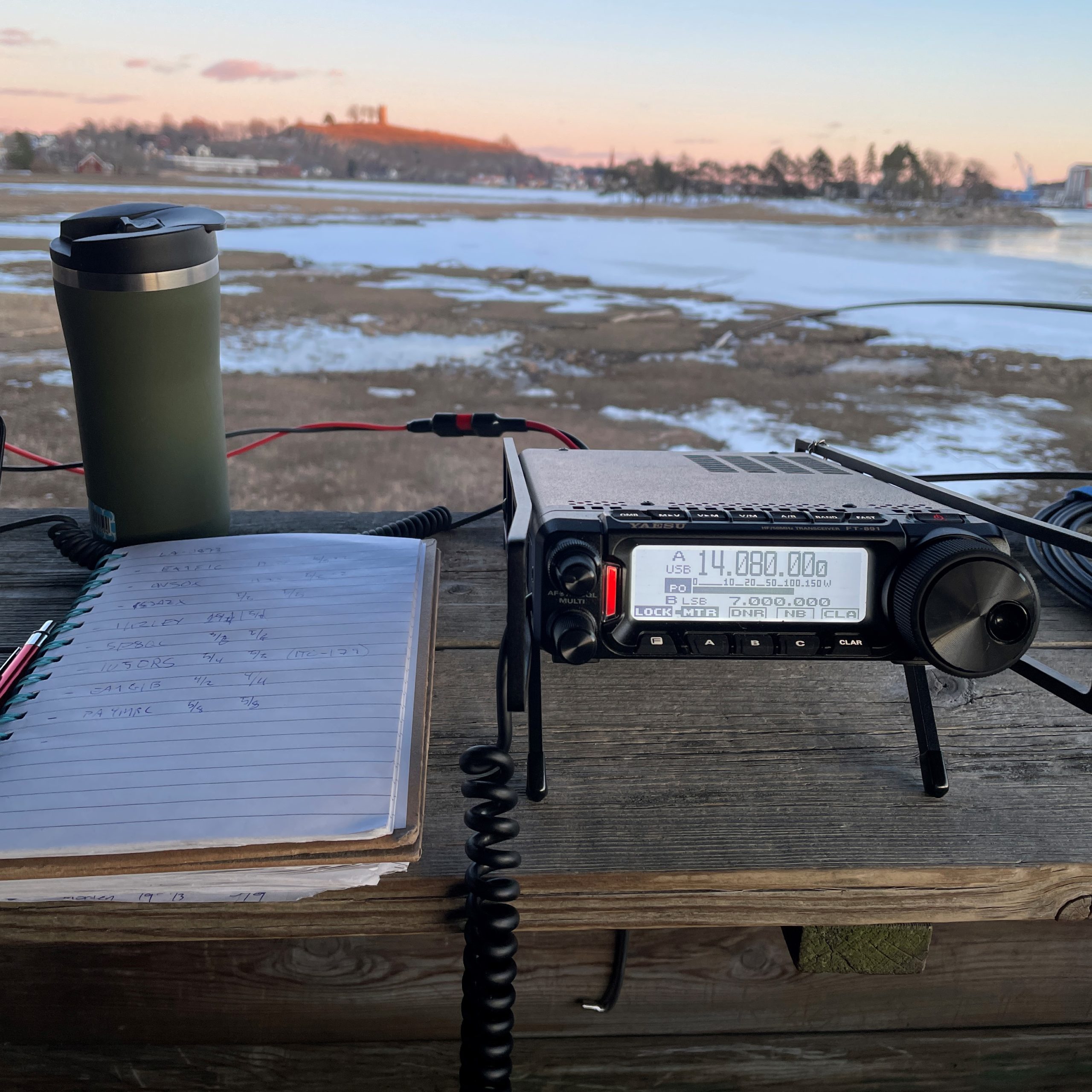
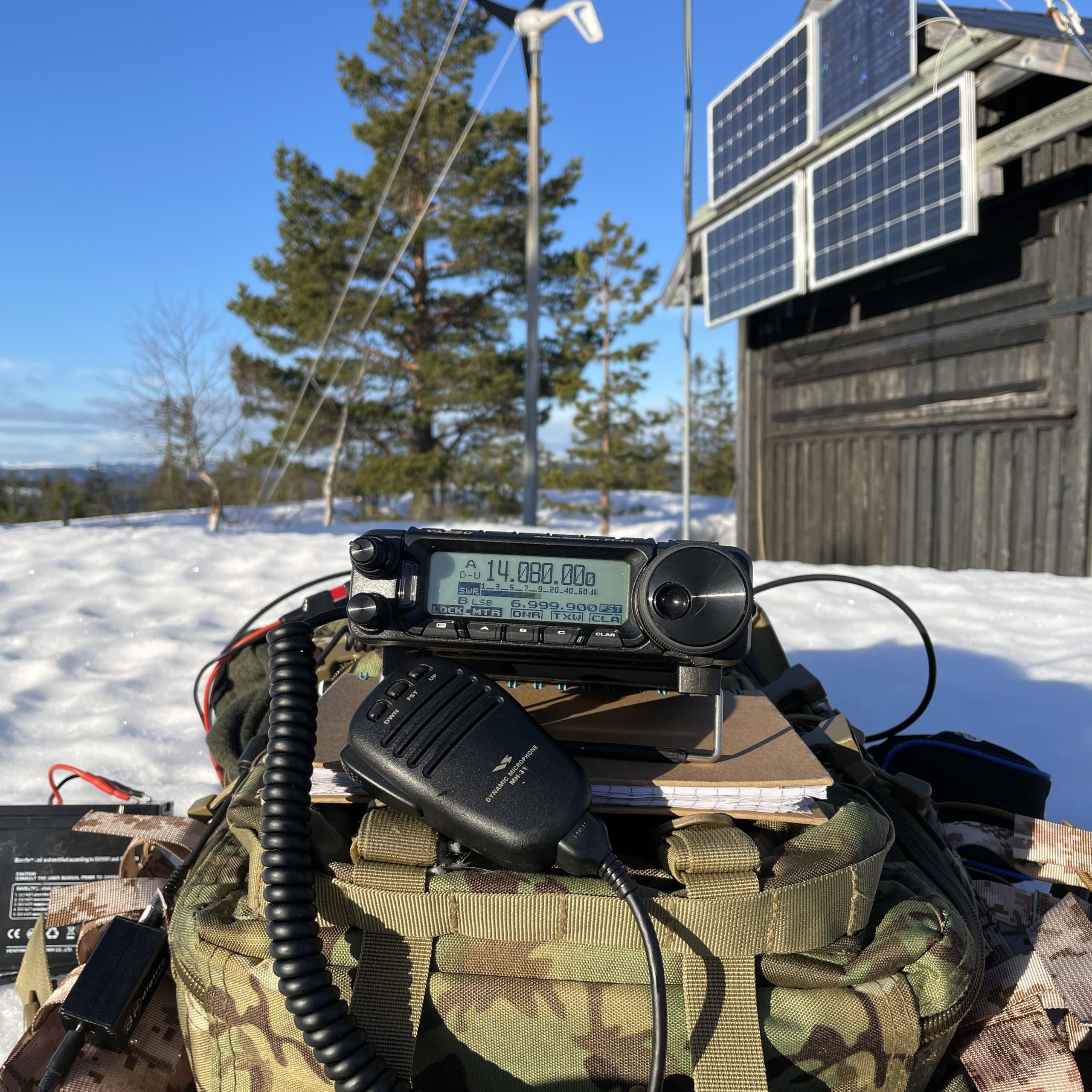
POTA: LA-2532 Fredriksten festning
I joined Morten LB0FI activating LA-2532 Fredriksten festning today. Nice weather and acceptable temperature. And a great QTH with excellent conditions (at least on 10m and 20m). We rigged the 2 x 22m dipole on the 10m DX Commander mast. Fed by 300Ω ladder line from the CG3000 tuner. Tunes nicely from 10m down to…
-
SOTA: LA/TM-010 – Skrehelle
Time for some vertical movement, both for me and Oscar (my son). Winter in Norway makes it too easy to find an excuse to stay indoors. I reckoned Skrehelle (LA/TM-010), with its summit at 553m would do us both some good. And I think I was right. We couldn’t have asked for a nicer day.…
-
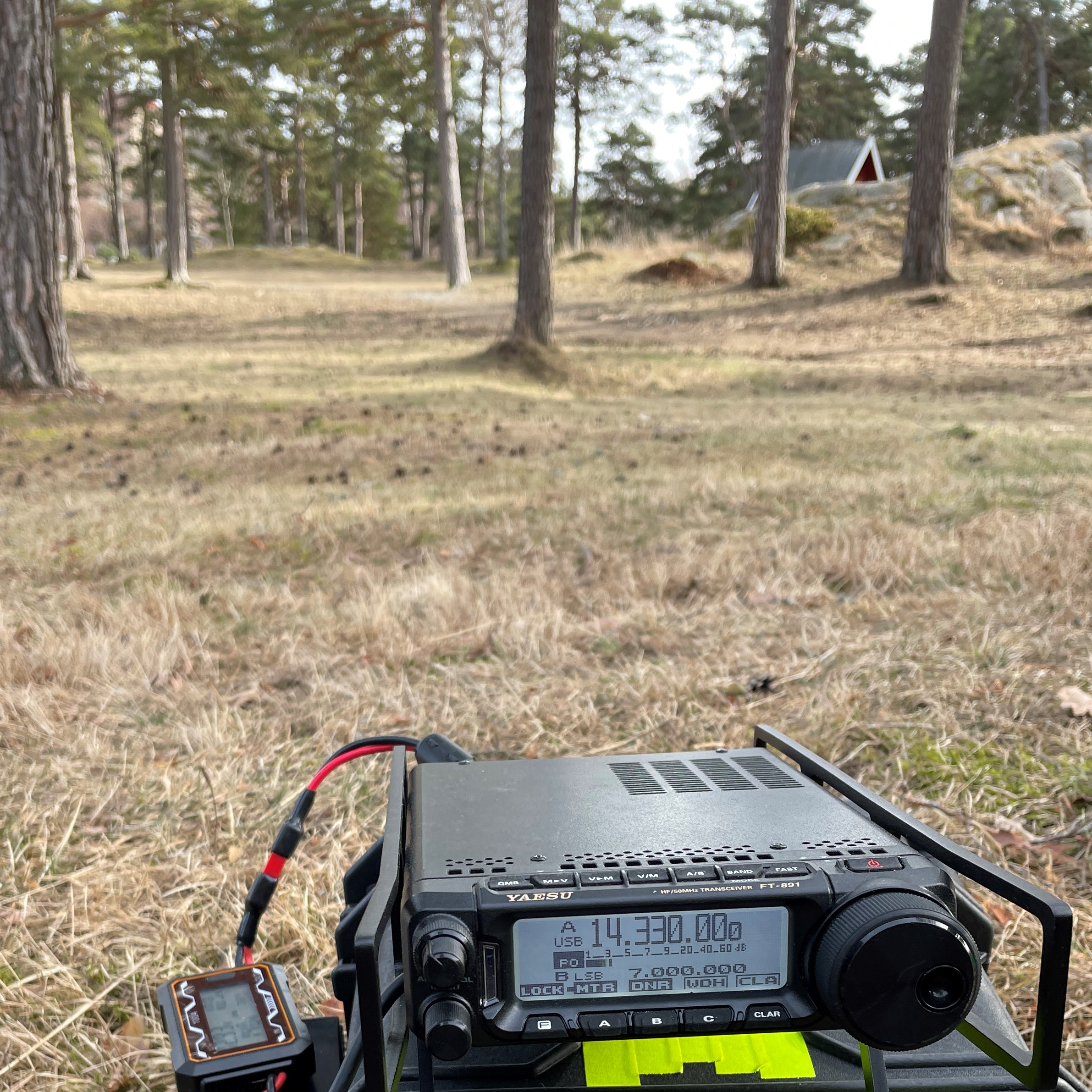
POTA: LA-0873 Ilene Nature Reserve
Been under the weather all week and finally starting to feel better. And it seems like half the radio amateurs I know are heading up one (or more; yes Tord, I’m looking at you) SOTA summit! I really don’t have time to be ill next week too, so had the good sense to stay at…
-
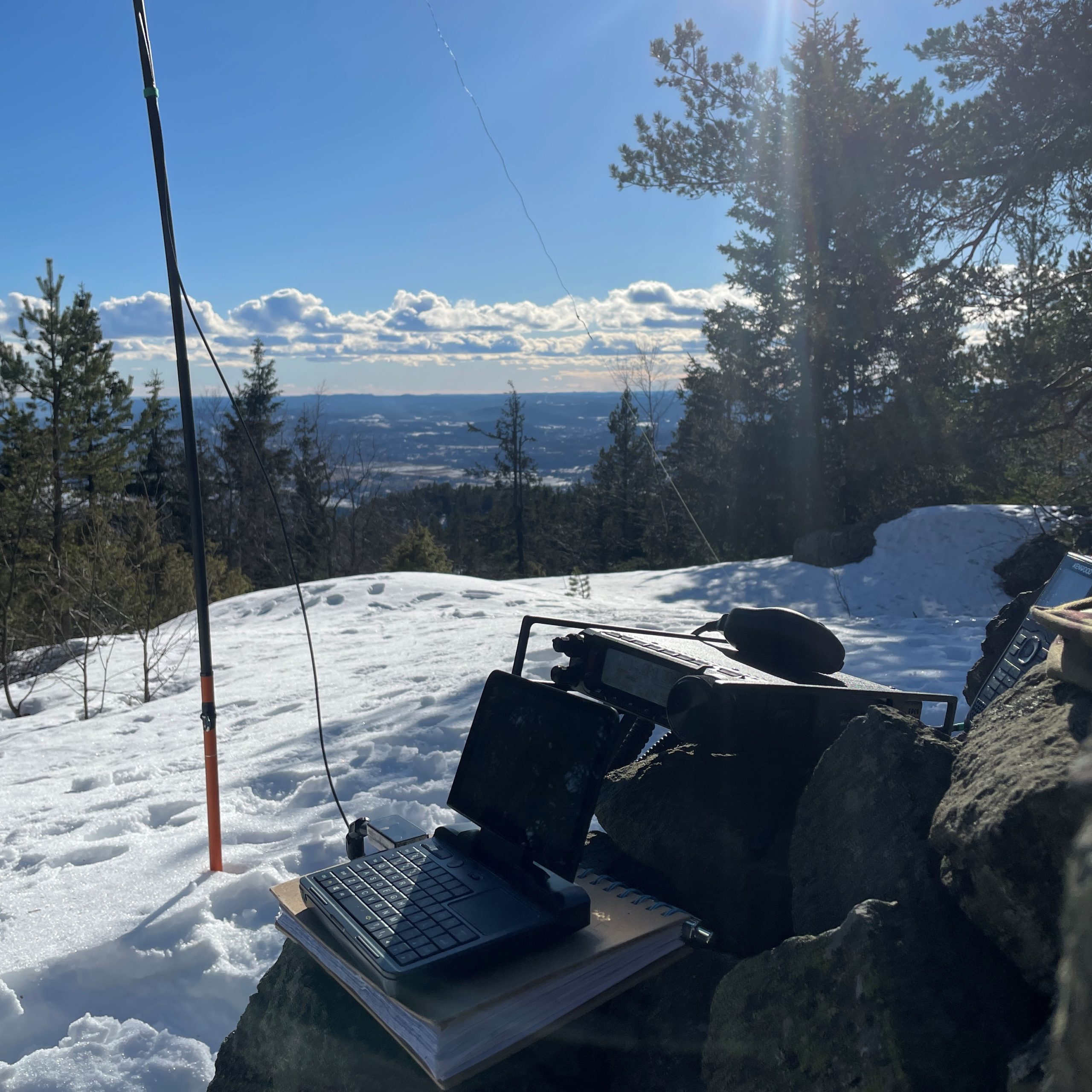
SOTA: LA/BU-092 – Jonsknuten
Nice climb with good friends up LA/BU-092, Jonsknuten (904 metres above sea level). A total elevation of around 150m, but over a distance of just some 600m that makes for a steep ascent! Still, the three slowpokes (LA2IMA Bjørn Ingar, LA1JLA Svein and myself) made it up in about 35 minutes. LA7MHA Tord was already…
-
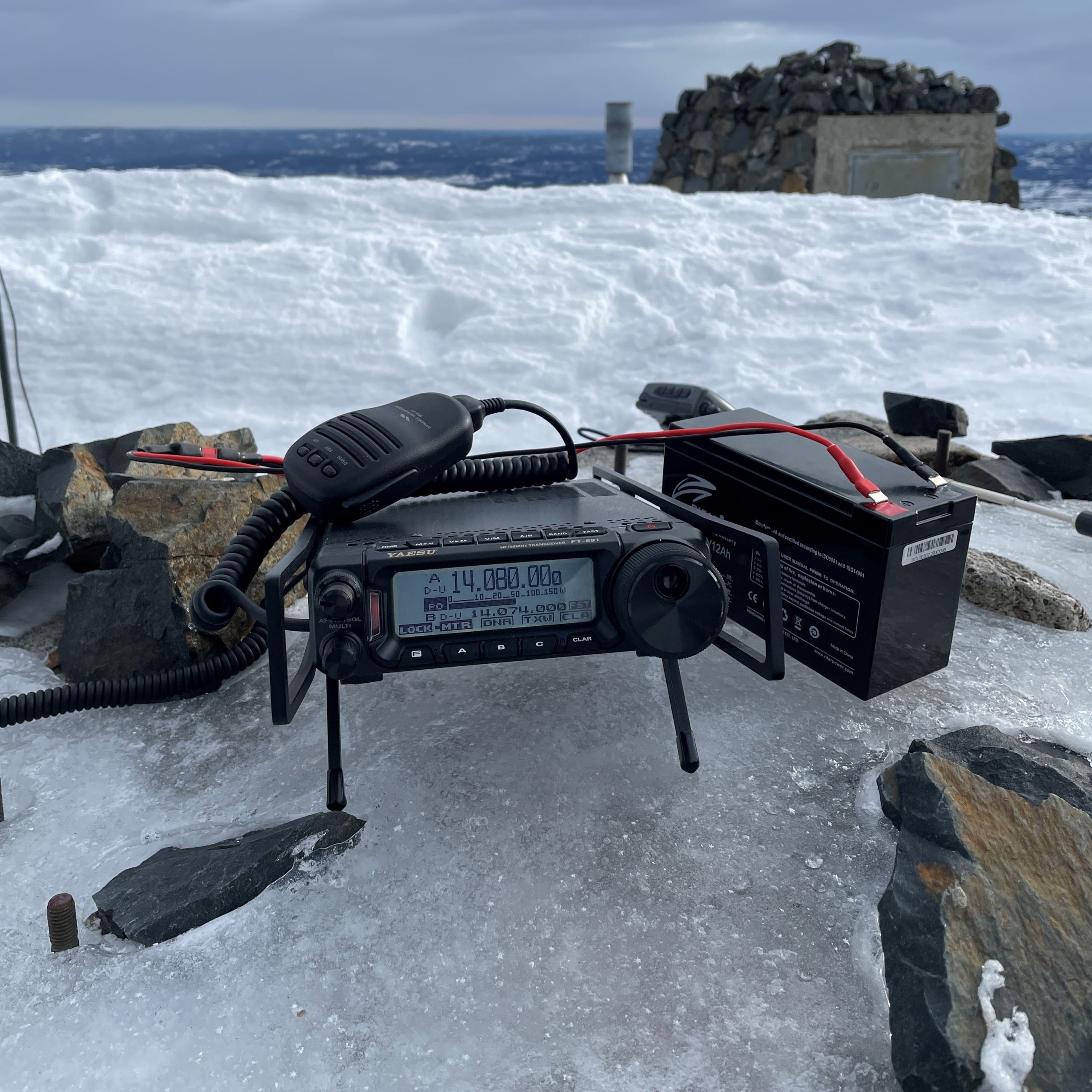
SOTA: LA/VF-003 Ruketuten
Nice day to activate the third highest point in LA/VF, LA/VF-003 Ruketuten, at 603 metres above sea level. 4.2km each way, with a total accent of about 360m. Beautiful sunny day, and an uncomplicated walk to the top. I had the advantage of walking in the tracks of LA7MHA Tord and LA2IMA Bjørn Ingar, who…
-
SOTA: LA/TM-068 Lauvåsknollen
A nice if somewhat cold Sunday spent walking up Lauvåsknollen near Notodden. The trip is about 2km one way, with an elevation of almost 200 metres. Not particularly hard in and of itself, but there are two trails from the parking lot to the summit. One goes through relatively open woodlands on a well trodden…